
Little River County topographic map
Interactive map
Click on the map to display elevation.
About this map
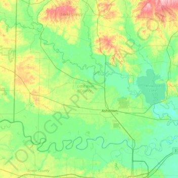
Name: Little River County topographic map, elevation, terrain.
Location: Little River County, Arkansas, United States (33.53389 -94.48585 33.94820 -93.82433)
Average elevation: 103 m
Minimum elevation: 69 m
Maximum elevation: 205 m