
Thank you for supporting this site ❤️
Make a donation
Make a donation
H/E Ward topographic map
Click on the map to display elevation.
Thank you for supporting this site ❤️
Make a donation
Make a donation
About this map
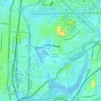
Name: H/E Ward topographic map, elevation, terrain.
Location: H/E Ward, Zone 3, Mumbai, Mumbai Suburban, Maharashtra, India (19.05103 72.84089 19.09443 72.87594)
Average elevation: 7 m
Minimum elevation: -4 m
Maximum elevation: 29 m
Thank you for supporting this site ❤️
Make a donation
Make a donation
Other topographic maps
Click on a map to view its topography, its elevation and its terrain.