
Thank you for supporting this site ❤️
Make a donation
Make a donation
Apgar topographic map
Click on the map to display elevation.
Thank you for supporting this site ❤️
Make a donation
Make a donation
About this map
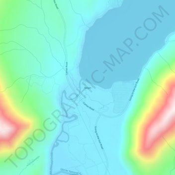
Name: Apgar topographic map, elevation, terrain.
Location: Apgar, Flathead County, Montana, 59936, United States (48.50775 -114.01317 48.54775 -113.97317)
Average elevation: 1,080 m
Minimum elevation: 955 m
Maximum elevation: 1,601 m
Thank you for supporting this site ❤️
Make a donation
Make a donation
Other topographic maps
Click on a map to view its topography, its elevation and its terrain.
Thank you for supporting this site ❤️
Make a donation
Make a donation
Thank you for supporting this site ❤️
Make a donation
Make a donation