
Thank you for supporting this site ❤️
Make a donation
Make a donation
Maitai Dam topographic map
Click on the map to display elevation.
Thank you for supporting this site ❤️
Make a donation
Make a donation
About this map
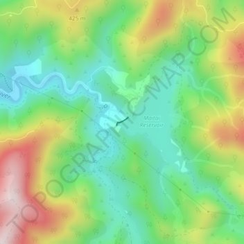
Name: Maitai Dam topographic map, elevation, terrain.
Location: Maitai Dam, Nelson, New Zealand (-41.29434 173.36982 -41.29346 173.37144)
Average elevation: 293 m
Minimum elevation: 102 m
Maximum elevation: 615 m
Nelson trails, hiking, mountain biking, running and outdoor activities
Thank you for supporting this site ❤️
Make a donation
Make a donation