
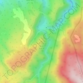
Richmond Hill topographic map
Interactive map
Click on the map to display elevation.
About this map
Name: Richmond Hill topographic map, elevation, terrain.
Location: Richmond Hill, Tasman District, Tasman, New Zealand (-40.77027 172.65617 -40.77017 172.65627)
Average elevation: 322 m
Minimum elevation: 128 m
Maximum elevation: 546 m
Tasman District trails, hiking, mountain biking, running and outdoor activities
Other topographic maps
Click on a map to view its topography, its elevation and its terrain.