
Thank you for supporting this site ❤️
Make a donation
Make a donation
Vesta topographic map
Click on the map to display elevation.
Thank you for supporting this site ❤️
Make a donation
Make a donation
About this map
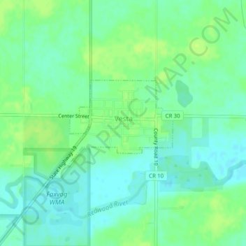
Name: Vesta topographic map, elevation, terrain.
Location: Vesta, Redwood County, Minnesota, United States (44.50252 -95.42563 44.51196 -95.40880)
Average elevation: 322 m
Minimum elevation: 315 m
Maximum elevation: 329 m
Thank you for supporting this site ❤️
Make a donation
Make a donation