
Thank you for supporting this site ❤️
Make a donation
Make a donation
Chilaw topographic map
Click on the map to display elevation.
Thank you for supporting this site ❤️
Make a donation
Make a donation
About this map
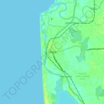
Name: Chilaw topographic map, elevation, terrain.
Location: Chilaw, Puttalam District, North Western Province, Sri Lanka (7.53651 79.75568 7.61651 79.83568)
Average elevation: 4 m
Minimum elevation: 0 m
Maximum elevation: 15 m
Thank you for supporting this site ❤️
Make a donation
Make a donation
Other topographic maps
Click on a map to view its topography, its elevation and its terrain.