
Springville topographic map
Click on the map to display elevation.
About this map
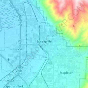
Name: Springville topographic map, elevation, terrain.
Location: Springville, Utah County, Utah, 84663, United States (40.13000 -111.67426 40.19416 -111.54575)
Average elevation: 1,566 m
Minimum elevation: 1,365 m
Maximum elevation: 2,932 m