
Cwmaman topographic map
Interactive map
Click on the map to display elevation.
About this map
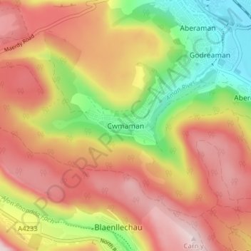
Name: Cwmaman topographic map, elevation, terrain.
Location: Cwmaman, Rhondda Cynon Taf, Wales, CF44 6PQ, United Kingdom (51.66475 -3.46760 51.70475 -3.42760)
Average elevation: 310 m
Minimum elevation: 111 m
Maximum elevation: 473 m
Other topographic maps
Click on a map to view its topography, its elevation and its terrain.