
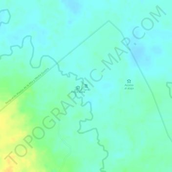
Tane topographic map
Interactive map
Click on the map to display elevation.
About this map
Name: Tane topographic map, elevation, terrain.
Location: Tane, Albania, La Guajira, Colombia (11.29419 -72.57091 11.29429 -72.57081)
Average elevation: 62 m
Minimum elevation: 53 m
Maximum elevation: 81 m