
Runanga topographic map
Interactive map
Click on the map to display elevation.
About this map
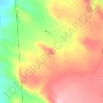
Name: Runanga topographic map, elevation, terrain.
Location: Runanga, Goromonzi, Mashonaland East Province, Zimbabwe (-17.59720 31.12077 -17.59710 31.12087)
Average elevation: 1,500 m
Minimum elevation: 1,376 m
Maximum elevation: 1,578 m