
Thank you for supporting this site ❤️
Make a donation
Make a donation
Cleaveland topographic map
Click on the map to display elevation.
Thank you for supporting this site ❤️
Make a donation
Make a donation
About this map
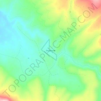
Name: Cleaveland topographic map, elevation, terrain.
Location: Cleaveland, Greenlee County, Arizona, United States (33.70172 -109.30119 33.74172 -109.26119)
Average elevation: 2,399 m
Minimum elevation: 2,311 m
Maximum elevation: 2,572 m
Thank you for supporting this site ❤️
Make a donation
Make a donation