
Thomas topographic map
Interactive map
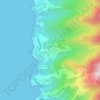
Click on the map to display elevation.
About this map
Name: Thomas topographic map, elevation, terrain.
Average elevation: 109 m
Minimum elevation: 0 m
Maximum elevation: 444 m
Other topographic maps
Click on a map to view its topography, its elevation and its terrain.
Monchy
France > Guadeloupe > Bouillante
Monchy, Bouillante, Basse-Terre, Guadeloupe, 97125, France
Average elevation: 83 m