
Greenwood County topographic map
Interactive map
Click on the map to display elevation.
About this map
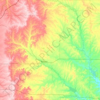
Name: Greenwood County topographic map, elevation, terrain.
Location: Greenwood County, Kansas, United States of America (37.60338 -96.52556 38.17407 -95.95884)
Average elevation: 372 m
Minimum elevation: 266 m
Maximum elevation: 507 m