Lake Manasarovar topographic map
Interactive map
Click on the map to display elevation.
About this map
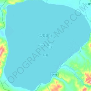
Name: Lake Manasarovar topographic map, elevation, terrain.
Average elevation: 4,604 m
Minimum elevation: 4,582 m
Maximum elevation: 4,936 m

Click on the map to display elevation.
Name: Lake Manasarovar topographic map, elevation, terrain.
Average elevation: 4,604 m
Minimum elevation: 4,582 m
Maximum elevation: 4,936 m