
Thank you for supporting this site ❤️
Make a donation
Make a donation
Fjarðabyggð topographic map
Click on the map to display elevation.
Thank you for supporting this site ❤️
Make a donation
Make a donation
About this map
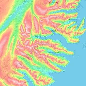
Name: Fjarðabyggð topographic map, elevation, terrain.
Location: Fjarðabyggð, Eastern Region, Iceland (64.70287 -14.60906 65.27232 -13.49481)
Average elevation: 350 m
Minimum elevation: -3 m
Maximum elevation: 1,203 m
Thank you for supporting this site ❤️
Make a donation
Make a donation