
Thank you for supporting this site ❤️
Make a donation
Make a donation
Richmond County topographic map
Click on the map to display elevation.
Thank you for supporting this site ❤️
Make a donation
Make a donation
About this map
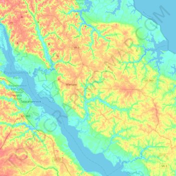
Name: Richmond County topographic map, elevation, terrain.
Location: Richmond County, Virginia, United States (37.77839 -76.93799 38.12444 -76.50781)
Average elevation: 22 m
Minimum elevation: -3 m
Maximum elevation: 61 m
Thank you for supporting this site ❤️
Make a donation
Make a donation