
Thank you for supporting this site ❤️
Make a donation
Make a donation
San Judas topographic map
Click on the map to display elevation.
Thank you for supporting this site ❤️
Make a donation
Make a donation
About this map
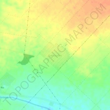
Name: San Judas topographic map, elevation, terrain.
Location: San Judas, Tipitapa (Municipio), Managua, 15100, Nicaragua (12.19882 -86.08197 12.23882 -86.04197)
Average elevation: 61 m
Minimum elevation: 39 m
Maximum elevation: 79 m
Thank you for supporting this site ❤️
Make a donation
Make a donation
Other topographic maps
Click on a map to view its topography, its elevation and its terrain.