Evergreen topographic map
Click on the map to display elevation.
Evergreen
Evergreen sits at an elevation of 7,220 feet (2,200 m) in the Rocky Mountains, 19 miles west of Denver, Colorado. Its addresses are oriented according to the Street_system_of_Denver.
About this map
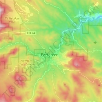
Name: Evergreen topographic map, elevation, terrain.
Average elevation: 2,309 m
Minimum elevation: 2,000 m
Maximum elevation: 2,713 m
Other topographic maps
Click on a map to view its topography, its elevation and its terrain.