
Samal topographic map
Click on the map to display elevation.
About this map
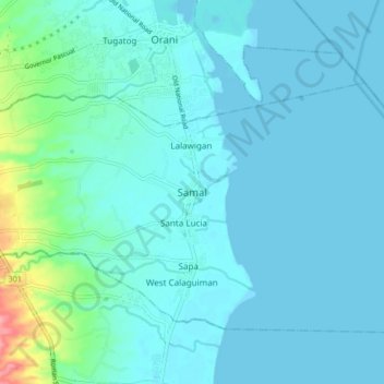
Name: Samal topographic map, elevation, terrain.
Location: Samal, Bataan, Central Luzon, 2113, Philippines (14.72938 120.50218 14.80938 120.58218)
Average elevation: 12 m
Minimum elevation: 0 m
Maximum elevation: 96 m