
Nightmute topographic map
Interactive map
Click on the map to display elevation.
About this map
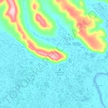
Name: Nightmute topographic map, elevation, terrain.
Location: Nightmute, Bethel, Alaska, USA (60.43256 -165.00501 60.56166 -164.62031)
Average elevation: 40 m
Minimum elevation: -1 m
Maximum elevation: 273 m