
Shakopee topographic map
Interactive map
Click on the map to display elevation.
About this map
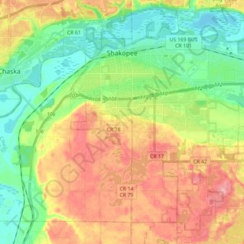
Name: Shakopee topographic map, elevation, terrain.
Location: Shakopee, Scott County, Minnesota, 55379, United States (44.71764 -93.56136 44.81282 -93.39875)
Average elevation: 257 m
Minimum elevation: 208 m
Maximum elevation: 321 m