
Thank you for supporting this site ❤️
Make a donation
Make a donation
Madison County topographic map
Click on the map to display elevation.
Thank you for supporting this site ❤️
Make a donation
Make a donation
About this map
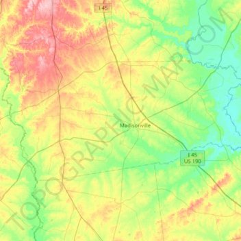
Name: Madison County topographic map, elevation, terrain.
Location: Madison County, Texas, United States of America (30.82640 -96.24113 31.09441 -95.61285)
Average elevation: 91 m
Minimum elevation: 42 m
Maximum elevation: 186 m
Thank you for supporting this site ❤️
Make a donation
Make a donation