
Thank you for supporting this site ❤️
Make a donation
Make a donation
Eatonton topographic map
Click on the map to display elevation.
Thank you for supporting this site ❤️
Make a donation
Make a donation
About this map
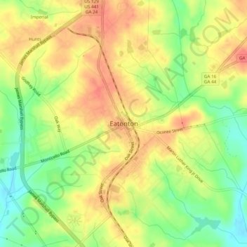
Name: Eatonton topographic map, elevation, terrain.
Location: Eatonton, Putnam County, Georgia, 31024, United States (33.30671 -83.40849 33.34671 -83.36849)
Average elevation: 160 m
Minimum elevation: 126 m
Maximum elevation: 186 m
Thank you for supporting this site ❤️
Make a donation
Make a donation