
Town of Webb Lake topographic map
Interactive map
Click on the map to display elevation.
About this map
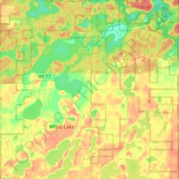
Name: Town of Webb Lake topographic map, elevation, terrain.
Location: Town of Webb Lake, Burnett County, Wisconsin, United States (45.98368 -92.17548 46.07088 -92.05049)
Average elevation: 301 m
Minimum elevation: 275 m
Maximum elevation: 321 m