
Doumuhu topographic map
Interactive map
Click on the map to display elevation.
About this map
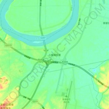
Name: Doumuhu topographic map, elevation, terrain.
Location: Doumuhu, Dingcheng District, Changde City, Hunan, PRC (28.90968 111.58808 28.98968 111.66808)
Average elevation: 38 m
Minimum elevation: 23 m
Maximum elevation: 72 m