
Thank you for supporting this site ❤️
Make a donation
Make a donation
Lu Verne topographic map
Click on the map to display elevation.
Thank you for supporting this site ❤️
Make a donation
Make a donation
About this map
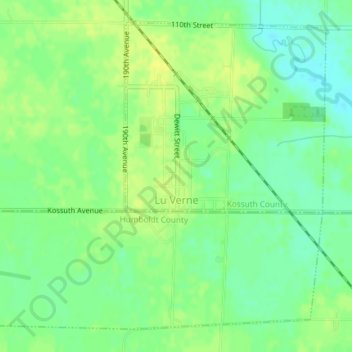
Name: Lu Verne topographic map, elevation, terrain.
Location: Lu Verne, Kossuth County, Iowa, United States (42.89909 -94.10494 42.92265 -94.06888)
Average elevation: 351 m
Minimum elevation: 340 m
Maximum elevation: 360 m
Thank you for supporting this site ❤️
Make a donation
Make a donation