
Industrial Park topographic map
Interactive map
Click on the map to display elevation.
About this map
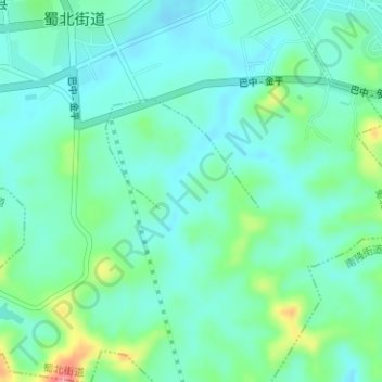
Name: Industrial Park topographic map, elevation, terrain.
Location: Industrial Park, Nanbu County, Nanchong City, Sichuan, China (31.32957 106.04254 31.34271 106.05517)
Average elevation: 376 m
Minimum elevation: 353 m
Maximum elevation: 448 m