
Thank you for supporting this site ❤️
Make a donation
Make a donation
San Javier topographic map
Click on the map to display elevation.
Thank you for supporting this site ❤️
Make a donation
Make a donation
About this map
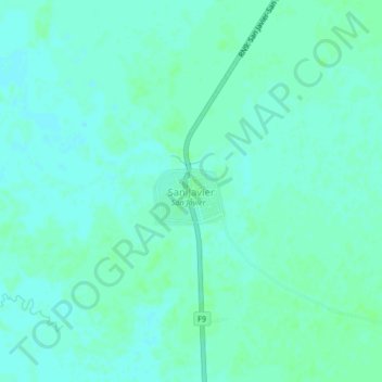
Name: San Javier topographic map, elevation, terrain.
Location: San Javier, Provincia de Cercado, Beni, Bolivia (-14.62022 -64.90104 -14.58022 -64.86104)
Average elevation: 149 m
Minimum elevation: 145 m
Maximum elevation: 152 m
Thank you for supporting this site ❤️
Make a donation
Make a donation