
Blezard Valley topographic map
Interactive map
Click on the map to display elevation.
About this map
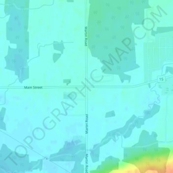
Name: Blezard Valley topographic map, elevation, terrain.
Average elevation: 284 m
Minimum elevation: 278 m
Maximum elevation: 315 m
Other topographic maps
Click on a map to view its topography, its elevation and its terrain.
Bernard Lake
Canada > Ontario > Greater Sudbury
Bernard Lake, Milnet Road, Greater Sudbury, Ontario, Canada
Average elevation: 354 m