
Aueck topographic map
Interactive map
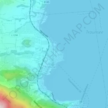
Click on the map to display elevation.
About this map
Name: Aueck topographic map, elevation, terrain.
Average elevation: 453 m
Minimum elevation: 418 m
Maximum elevation: 838 m
Other topographic maps
Click on a map to view its topography, its elevation and its terrain.
Traunsee
Austria > Upper Austria > Traunkirchen
Traunsee, Aueck, Traunkirchen, Gmunden, Upper Austria, 4801, Austria
Average elevation: 729 m