
La Floresta topographic map
Interactive map
Click on the map to display elevation.
About this map
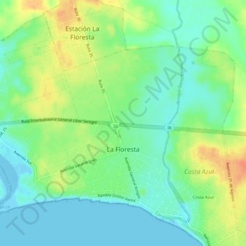
Name: La Floresta topographic map, elevation, terrain.
Location: La Floresta, Canelones, 16200, Uruguay (-34.76565 -55.70916 -34.73141 -55.66256)
Average elevation: 16 m
Minimum elevation: -3 m
Maximum elevation: 40 m