
Thank you for supporting this site ❤️
Make a donation
Make a donation
Kasui Lama topographic map
Click on the map to display elevation.
Thank you for supporting this site ❤️
Make a donation
Make a donation
About this map
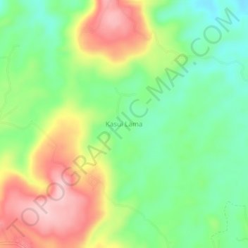
Name: Kasui Lama topographic map, elevation, terrain.
Location: Kasui Lama, Way Kanan, Lampung, Sumatra, Indonesia (-4.70542 104.42076 -4.66542 104.46076)
Average elevation: 188 m
Minimum elevation: 106 m
Maximum elevation: 302 m
Thank you for supporting this site ❤️
Make a donation
Make a donation