
Thank you for supporting this site ❤️
Make a donation
Make a donation
Littleton topographic map
Click on the map to display elevation.
Thank you for supporting this site ❤️
Make a donation
Make a donation
About this map
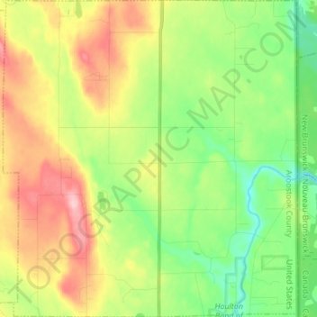
Name: Littleton topographic map, elevation, terrain.
Location: Littleton, Aroostook County, Maine, United States (46.18528 -67.90836 46.27956 -67.78145)
Average elevation: 140 m
Minimum elevation: 78 m
Maximum elevation: 228 m
Thank you for supporting this site ❤️
Make a donation
Make a donation