
Lisacul topographic map
Interactive map
Click on the map to display elevation.
About this map
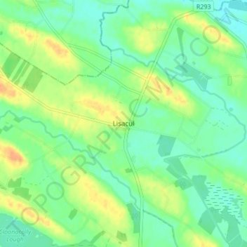
Name: Lisacul topographic map, elevation, terrain.
Location: Lisacul, Roscommon Municipal District, Connacht, Ireland (53.83912 -8.65181 53.87912 -8.61181)
Average elevation: 82 m
Minimum elevation: 69 m
Maximum elevation: 101 m