
Thank you for supporting this site ❤️
Make a donation
Make a donation
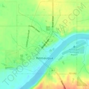
Keosauqua topographic map
Click on the map to display elevation.
Thank you for supporting this site ❤️
Make a donation
Make a donation
Keosauqua
Keosauqua is in the Southern Iowa Drift Plain, formed by Pre-Illinoian glaciers approximately 300,000 years ago. The topography of the area is heavily forested rolling hills, interspersed with farmland, and has many tributaries flowing into the Des Moines River. The Des Moines was large enough to handle steamboat traffic in the 1800s and was the reason that Keosauqua was founded.
Thank you for supporting this site ❤️
Make a donation
Make a donation
About this map
Name: Keosauqua topographic map, elevation, terrain.
Location: Keosauqua, Van Buren County, Iowa, United States (40.72555 -91.97242 40.74347 -91.94839)
Average elevation: 192 m
Minimum elevation: 171 m
Maximum elevation: 221 m
Thank you for supporting this site ❤️
Make a donation
Make a donation