
Thank you for supporting this site ❤️
Make a donation
Make a donation
Menghuan Subdistrict topographic map
Click on the map to display elevation.
Thank you for supporting this site ❤️
Make a donation
Make a donation
About this map
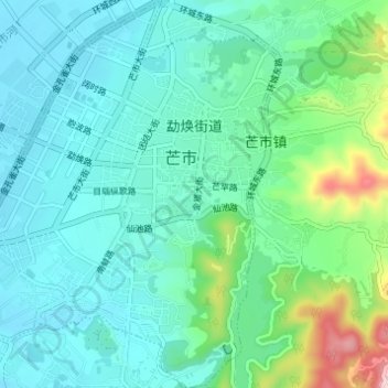
Name: Menghuan Subdistrict topographic map, elevation, terrain.
Location: Menghuan Subdistrict, Mangshi, Dehong, Yunnan, 665000, China (24.40362 98.54698 24.45931 98.60423)
Average elevation: 959 m
Minimum elevation: 881 m
Maximum elevation: 1,280 m
Thank you for supporting this site ❤️
Make a donation
Make a donation