
Hamilton topographic map
Click on the map to display elevation.
About this map
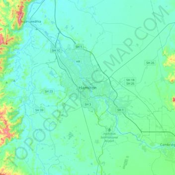
Name: Hamilton topographic map, elevation, terrain.
Location: Hamilton, Hamilton City, Waikato, 03204, New Zealand (-37.94788 175.12179 -37.62788 175.44179)
Average elevation: 53 m
Minimum elevation: 11 m
Maximum elevation: 360 m
Hamilton City trails, hiking, mountain biking, running and outdoor activities