
Maynoba topographic map
Interactive map
Click on the map to display elevation.
About this map
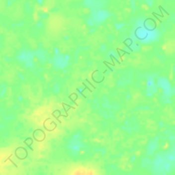
Name: Maynoba topographic map, elevation, terrain.
Location: Maynoba, Borkou, Chad (16.58069 16.26492 16.60069 16.28492)
Average elevation: 227 m
Minimum elevation: 212 m
Maximum elevation: 239 m