
Hona topographic map
Interactive map
Click on the map to display elevation.
About this map
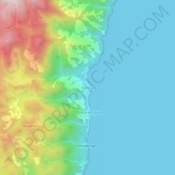
Name: Hona topographic map, elevation, terrain.
Location: Hona, Mutambala, South Kivu, Democratic Republic of the Congo (-4.41662 29.18804 -4.37662 29.22804)
Average elevation: 952 m
Minimum elevation: 763 m
Maximum elevation: 1,478 m