
Thank you for supporting this site ❤️
Make a donation
Make a donation
Cit topographic map
Click on the map to display elevation.
Thank you for supporting this site ❤️
Make a donation
Make a donation
About this map
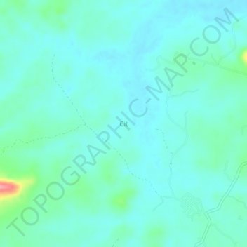
Name: Cit topographic map, elevation, terrain.
Location: Cit, Bangka, Bangka-Belitung Islands, Sumatra, Indonesia (-1.73383 105.93988 -1.69383 105.97988)
Average elevation: 19 m
Minimum elevation: 1 m
Maximum elevation: 109 m
Thank you for supporting this site ❤️
Make a donation
Make a donation