
Tern Point topographic map
Interactive map
Click on the map to display elevation.
About this map
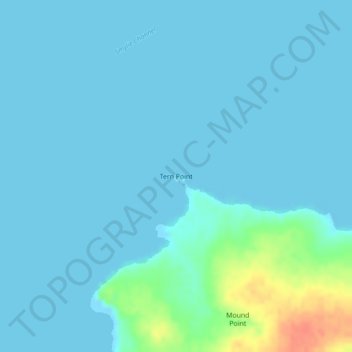
Name: Tern Point topographic map, elevation, terrain.
Location: Tern Point, Dyke Island, Falkland Islands (-51.95452 -60.84590 -51.95442 -60.84580)
Average elevation: 6 m
Minimum elevation: -1 m
Maximum elevation: 46 m
Other topographic maps
Click on a map to view its topography, its elevation and its terrain.