
Thank you for supporting this site ❤️
Make a donation
Make a donation
Marston topographic map
Click on the map to display elevation.
Thank you for supporting this site ❤️
Make a donation
Make a donation
About this map
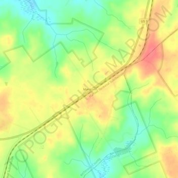
Name: Marston topographic map, elevation, terrain.
Location: Marston, Richmond County, North Carolina, United States (34.96821 -79.60227 35.00821 -79.56227)
Average elevation: 120 m
Minimum elevation: 88 m
Maximum elevation: 150 m
Thank you for supporting this site ❤️
Make a donation
Make a donation