
Thank you for supporting this site ❤️
Make a donation
Make a donation
Kaipoi topographic map
Click on the map to display elevation.
Thank you for supporting this site ❤️
Make a donation
Make a donation
About this map
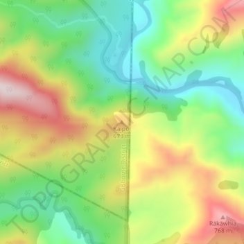
Name: Kaipoi topographic map, elevation, terrain.
Location: Kaipoi, Gisborne District, Gisborne, New Zealand (-38.64880 177.30670 -38.64870 177.30680)
Average elevation: 524 m
Minimum elevation: 325 m
Maximum elevation: 796 m
Thank you for supporting this site ❤️
Make a donation
Make a donation