
Thank you for supporting this site ❤️
Make a donation
Make a donation
De Halm topographic map
Click on the map to display elevation.
Thank you for supporting this site ❤️
Make a donation
Make a donation
About this map
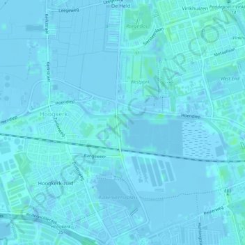
Name: De Halm topographic map, elevation, terrain.
Location: De Halm, Suikerfabriekterrein, West, Groningen, Nederland (53.21344 6.51158 53.21470 6.51469)
Average elevation: 1 m
Minimum elevation: -5 m
Maximum elevation: 6 m
Thank you for supporting this site ❤️
Make a donation
Make a donation
Other topographic maps
Click on a map to view its topography, its elevation and its terrain.