
Te Pahu topographic map
Click on the map to display elevation.
About this map
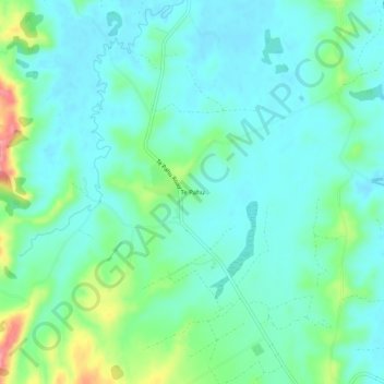
Name: Te Pahu topographic map, elevation, terrain.
Location: Te Pahu, Waipā District, Waikato, New Zealand (-37.93600 175.11606 -37.89600 175.15606)
Average elevation: 48 m
Minimum elevation: 23 m
Maximum elevation: 130 m
Waipa District trails, hiking, mountain biking, running and outdoor activities
Other topographic maps
Click on a map to view its topography, its elevation and its terrain.
Rangiaowhia War Memorial Domain
New Zealand > Waikato > Waipa District > Kihikihi > Rangiaowhia
Average elevation: 69 m