
Al Hamra' topographic map
Interactive map
Click on the map to display elevation.
Al Hamra' topographic map, elevation, terrain
About this map
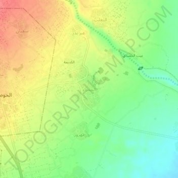
Name: Al Hamra' topographic map, elevation, terrain.
Location: Al Hamra', Tuban District, Lahij Governorate, Yemen (13.03902 44.88326 13.07902 44.92326)
Average elevation: 118 m
Minimum elevation: 86 m
Maximum elevation: 152 m