
Uk topographic map
Interactive map
Click on the map to display elevation.
About this map
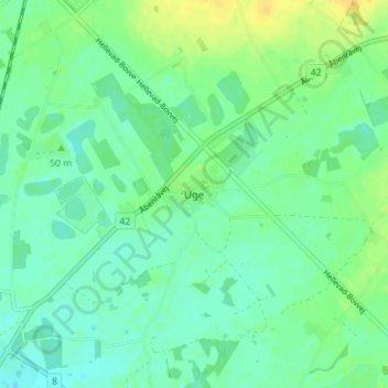
Name: Uk topographic map, elevation, terrain.
Location: Uk, Kommune Apenrade, Region Süddänemark, 6392, Dänemark (54.94565 9.28938 54.98565 9.32938)
Average elevation: 32 m
Minimum elevation: 23 m
Maximum elevation: 46 m
Other topographic maps
Click on a map to view its topography, its elevation and its terrain.
Uk
Dänemark > Region Süddänemark > Uk
Uk, Kommune Apenrade, Region Süddänemark, Dänemark
Average elevation: 31 m