
Cotonou topographic map
Interactive map
Click on the map to display elevation.
About this map
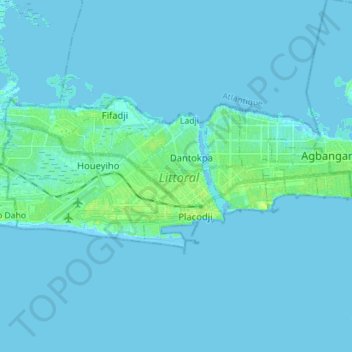
Name: Cotonou topographic map, elevation, terrain.
Location: Cotonou, Littoral, Benin (6.33728 2.35457 6.39924 2.49584)
Average elevation: 2 m
Minimum elevation: -4 m
Maximum elevation: 13 m
Other topographic maps
Click on a map to view its topography, its elevation and its terrain.