
Fort McMurray topographic map
Interactive map
Click on the map to display elevation.
About this map
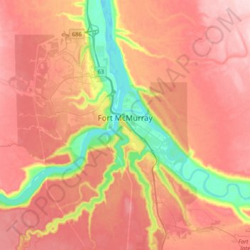
Name: Fort McMurray topographic map, elevation, terrain.
Location: Fort McMurray, Division No. 16, Alberta, Canada (56.64375 -111.51094 56.80447 -111.20705)
Average elevation: 345 m
Minimum elevation: 234 m
Maximum elevation: 422 m
Other topographic maps
Click on a map to view its topography, its elevation and its terrain.
Fort McKay
Canada > Alberta > Division No. 16
Fort McKay, Division No. 16, Alberta, Canada
Average elevation: 259 m